
Copyright: Svenja Schulze-Entrup
Long-Distance Hiking Trails
Moving forward with determination
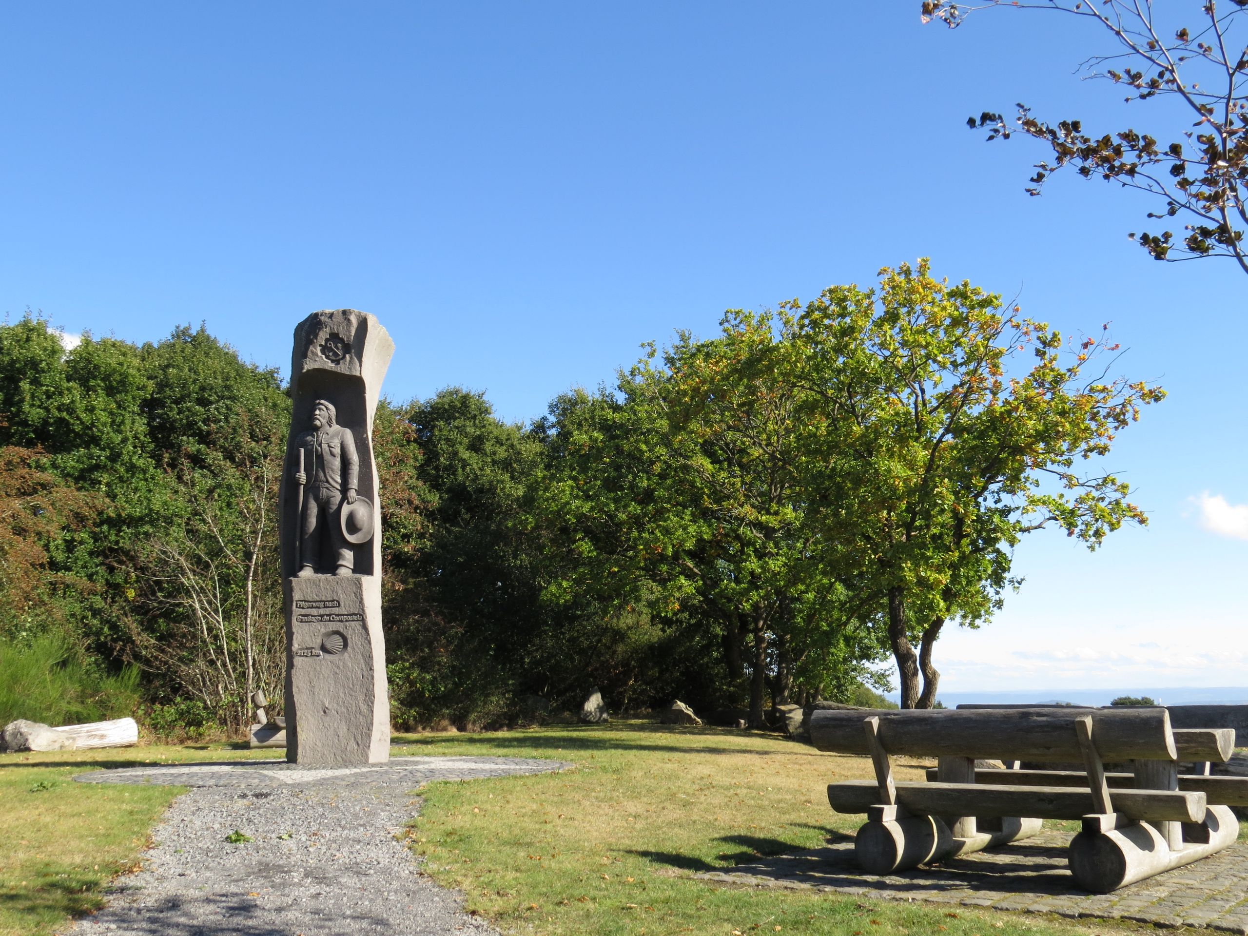
Travel at your own pace and get to know the region and its people better on the long-distance hiking trails that wind through our beautiful Vordereifel. Whether on the stages of the Eifel-Camino and the Osteifelweg or on a day hike along the Mühlsteinwanderweg—experience the Vordereifel step by step.
Time for the next step
6 results
Hiking
Eifel-Camino Etappe 3
MayenDistance:19.1 km
Duration:5:20 h
Difficulty:Medium
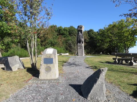
This stage of the approximately 160-kilometer-long Eifel Camino takes you deep into the Schiefereifel: you’ll pass through wooded areas, over gentle hills, and through quaint villages. It’s worth taking a detour to the pilgrimage church and the castle ruins in Monreal—one of the region’s most beautiful half-timbered villages.
Hiking
Mühlsteinwanderweg
MayenDistance:12.9 km
Duration:3:36 h
Difficulty:Medium
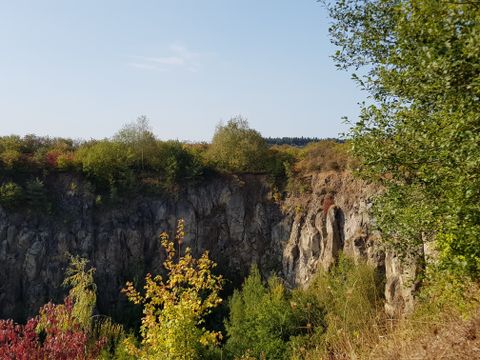
Covering around 13 kilometers from Mayen to Mendig, the "Mühlsteinwanderweg" provides the perfect overview of the "Mühlsteinrevier RheinEifel" - on its way to becoming a "UNESCO World Heritage Site".
Hiking
Osteifelweg - 5. Etappe Maria Laach bis Hammesmühle
GleesDistance:13.2 km
Duration:4:01 h
Difficulty:Medium
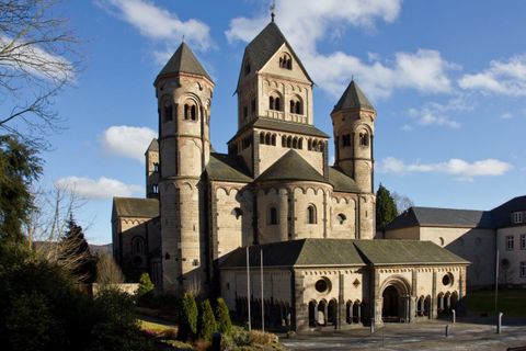
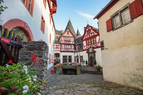
Route: Maria-Laach - Bell - Mineralquelle Erlenborn - Kellbach - Hochstein with >Genovevahöhle< – Hochsimmer >AT Traumblicke< - Hammesmühle.
Hiking
Osteifelweg - 6. Etappe Hammesmühle bis Monreal
MayenDistance:12.4 km
Duration:3:16 h
Difficulty:Medium
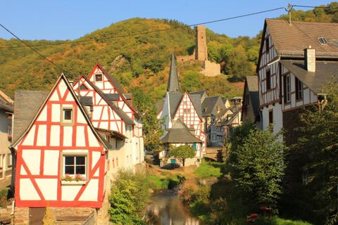
Route: Hammesmühle - Nettetal - Eiterbachtal - Eiterbachweiherhütte - Trillbach - Monreal.
Hiking
Osteifelweg - Gesamtverlauf
MayenDistance:117.2 km
Duration:27:45 h
Difficulty:Medium
This main hiking trail is the easternmost north-south trail of the Eifelverein. In the Eifel, the trail connects the Kottenforst south of Bonn with the lower Moselle valley, crosses the Ahr valley, touches the volcanic landscape of the Eastern Eifel and leads past the edge of the Maifeld into the Elzbach valley down to the Moselle.

Hiking
Vulkanweg 3. Etappe - Mayen nach Boos
MayenDistance:20.0 km
Duration:5:15 h
Difficulty:Medium
The Vulkanweg is an eventful hiking trail that connects the eastern and central parts of the Vulkaneifel. Along its sweeping loops, it takes hikers right through the region’s most recent volcanic history.