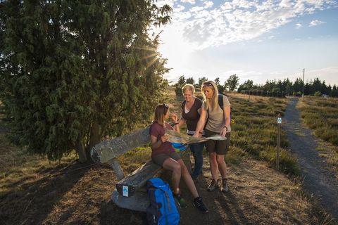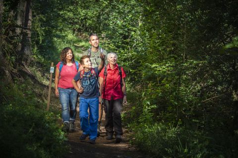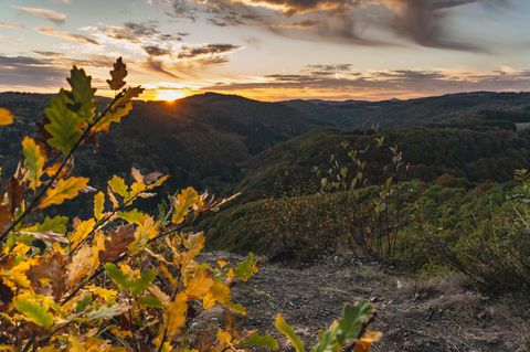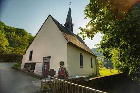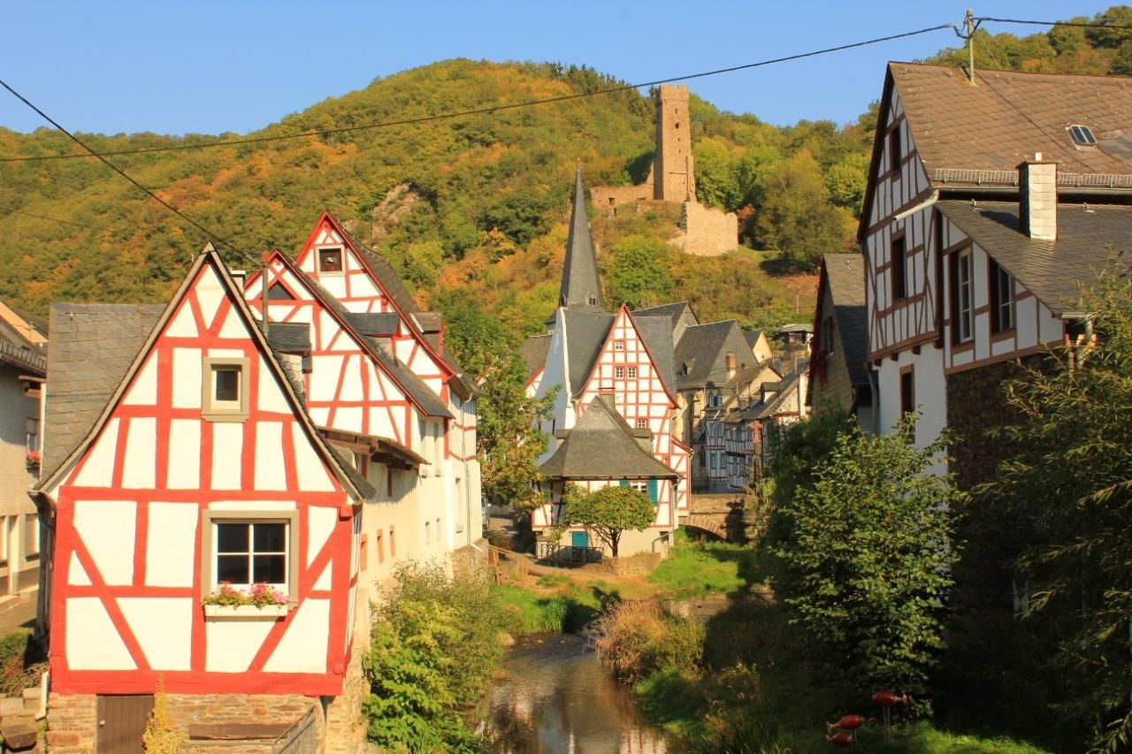
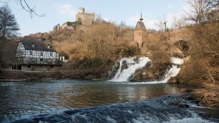
Copyright: Ursula Peters, Eifelverein e.V.
Osteifelweg - Gesamtverlauf
Type of tour:Hiking
-Difficulty:moderate, moderately difficult
Duration27:45 h
Length117.2 km
Ascent1,814 hm
Descent1,900 hm
Elevation profile
Description
This main hiking trail is the easternmost north-south trail of the Eifelverein. In the Eifel, the trail connects the Kottenforst south of Bonn with the lower Moselle valley, crosses the Ahr valley, touches the volcanic landscape of the Eastern Eifel and leads past the edge of the Maifeld into the Elzbach valley down to the Moselle.
The Osteifelweg (HWW 1) is divided into 8 daily stages, which can, however, be planned variably.
Stage 1: Bonn-Venusberg - Berkum (14.8 km)
Stage 2: Berkum - Bad Neuenahr (16.2 km)
Stage 3: Bad Neuenahr - Oberdürenbach (12.4 km)
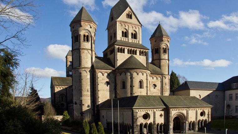
Stage 4: Oberdürenbach - Maria-Lach Monastery (13.4 km)
Stage 5: Maria-Laach Monastery - Hammesmühle (13.2 km)
Stage 6: Hammesmühle - Monreal (11.7 km)
Stage 7: Monreal - Burg Pyrmont (20.7 km) ROUTE IS SIGNPOSED
Stage 8: Burg Pyrmont - Moselkern Bf (14.6 km)
The Osteifelweg markings: three-colored "E" (blue, brown, green) on a white background; above it "EIFELVEREIN", below it on a green field "Osteifelweg"
Source: Eifelverein e.V.
For more information, there is a great article from Deutschlandfunk about the Osteifelweg here !
Impressions
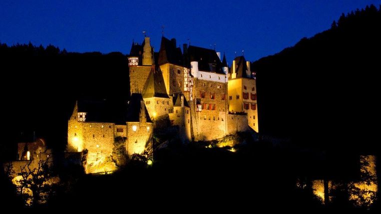
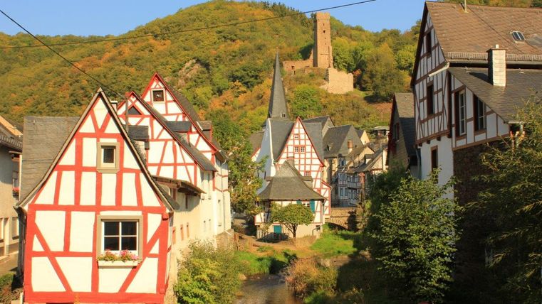
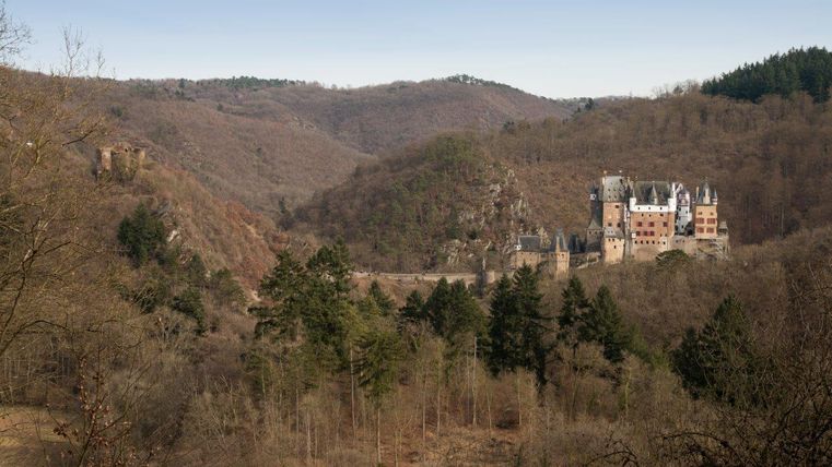
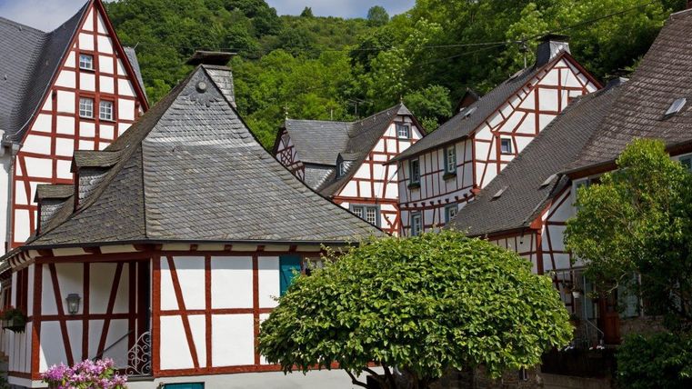
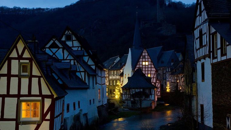
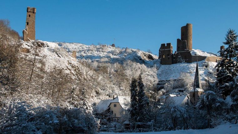
Copyright: Ursula Peters, Eifelverein e.V. Copyright: Ursula Peters, Eifelverein e.V. Copyright: Ursula Peters, Eifelverein e.V. Copyright: Ursula Peters, Eifelverein e.V. Copyright: Ursula Peters, Eifelverein e.V. Copyright: Ursula Peters, Eifelverein e.V. Copyright: Ursula Peters, Eifelverein e.V. Copyright: Ursula Peters, Eifelverein e.V. Copyright: Ursula Peters, Eifelverein e.V.
Further information
Please download the gpx track and the map of the trail in advance, as the signposting may be patchy in some areas.
Please stay on marked paths.
Particularly in the fall, please note that leaves lying on the ground can hide bumps, roots, etc. on the path.
Further information on the route can also be found in the EifelPfadFinder of the Eifelverein.

Route tour
Multi-stage route
scenic
Refreshment stops
Cultural/historical
Geological highlights
Botanical highlights
Touristik-Büro Vordereifel
Kelberger Straße 26
56727 Mayen