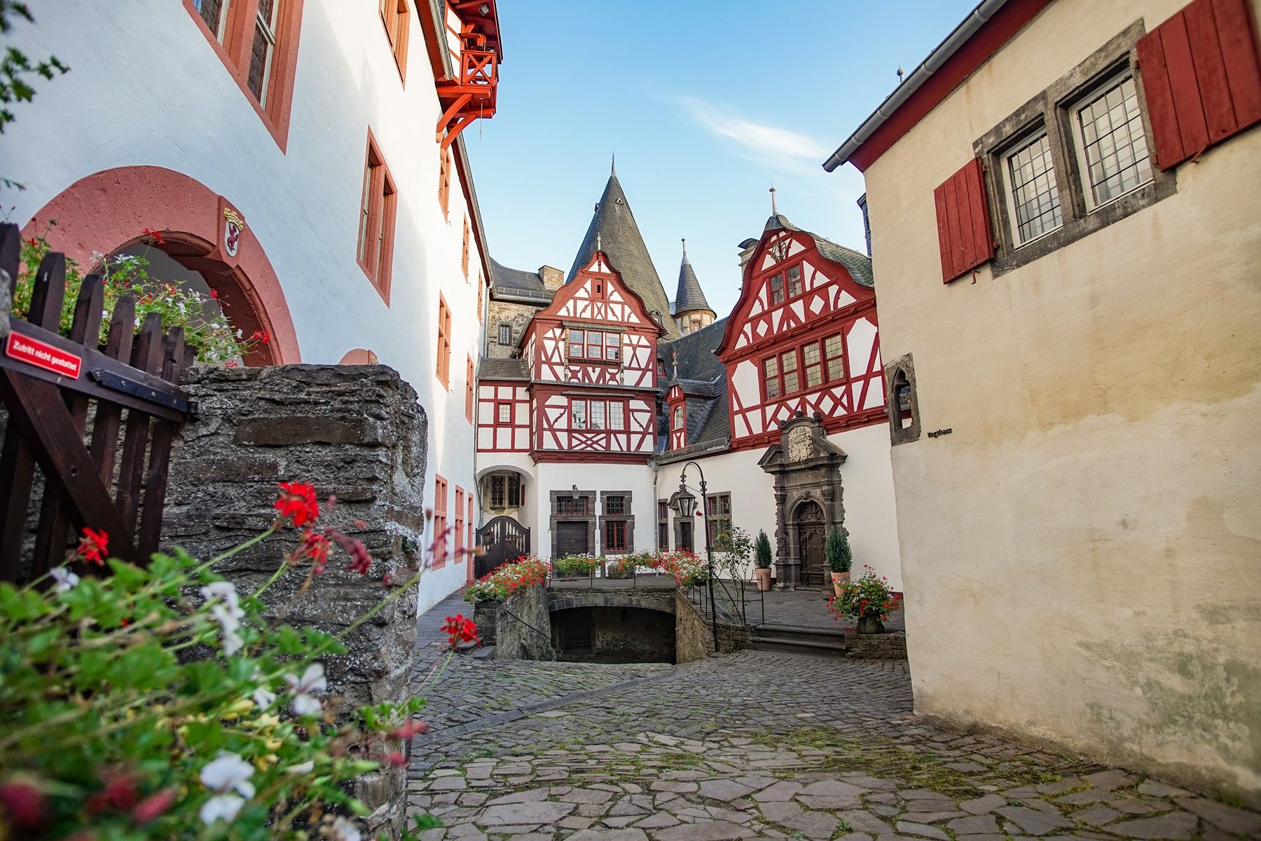
Copyright: Laura Rinneburger
Osteifelweg - 6. Etappe Hammesmühle bis Monreal
Type of tour:Hiking
-Difficulty:moderate, moderately difficult
Duration3:16 h
Length12.4 km
Ascent228 hm
Descent203 hm
Elevation profile
Description
Route: Hammesmühle - Nettetal - Eiterbachtal - Eiterbachweiherhütte - Trillbach - Monreal.
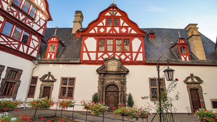
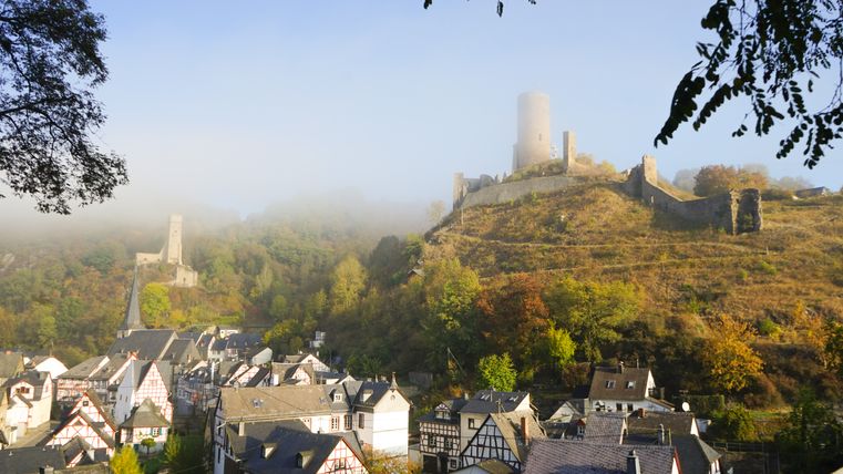
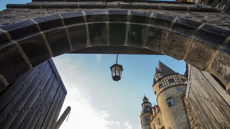
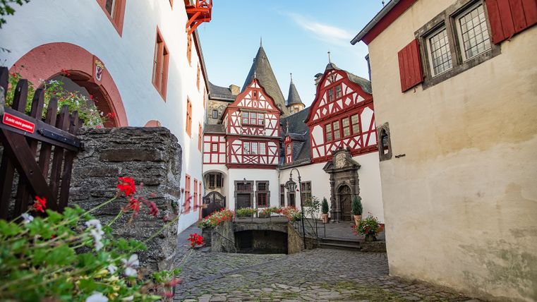
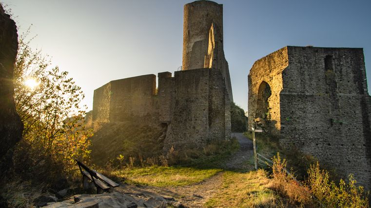
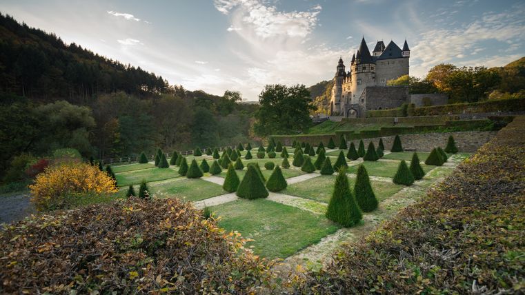
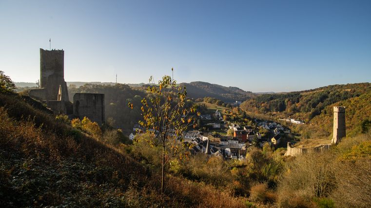
From the Hammesmühle mill in the Nettetal valley above the former >Helgoland< monastery, after approx. 1.3 km turn right into the Eiterbach valley. Our >Osteifelweg< now leads with the Vulkanweg on the right up the Eiterbachtal, past the >Eiterbachhütte<, before the WP with shelter >Am Leichenweg<.tte >Am Leichenweg< (6.1 km) - where the Vulkanweg leaves - turn left until shortly before the barracks, turn right through the underpass of the B 258 to the shooting range. Then turn right through a wooded area and downhill in the Trillbach valley, turn right before the railroad underpass, cross the tunnel at the castle courtyard and turn right to the ruins of the Löwenburg and Phillipsburg castles (13th century). Together with the Traumpfad >Monrealer Ritterschlag< downhill into the picturesque village. This stage ends in Kirchstraße (11.7 km).
The Osteifelweg trail marker: three-colored "E" (blue, brown, green) on a white mirror; above it "EIFELVEREIN", below it on a green field "Osteifelweg"
Source: Eifelverein e.V.
Impressions
Further information
Please download the gpx track and the map of the trail in advance, as the signposting may be patchy in some areas.
Please stay on marked paths.
Especially in the fall, please be aware that leaves lying on the ground can hide bumps, roots, etc. on the trail.

Route tour
Multi-stage route
scenic
Refreshment stops
Cultural/historical
Botanical highlights
Touristik-Büro Vordereifel
Kelberger Straße 26
56727 Mayen