Copyright: Eifelverein, Ursula Peters
Osteifelweg - 5. Etappe Maria Laach bis Hammesmühle
Type of tour:Hiking
-Difficulty:moderate, moderately difficult
Duration4:01 h
Length13.2 km
Ascent417 hm
Descent452 hm
Elevation profile
Description
Route: Maria-Laach - Bell - Mineralquelle Erlenborn - Kellbach - Hochstein with >Genovevahöhle< – Hochsimmer >AT Traumblicke< - Hammesmühle.
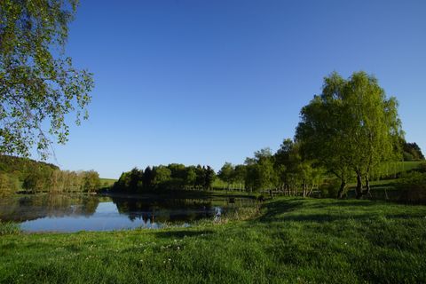
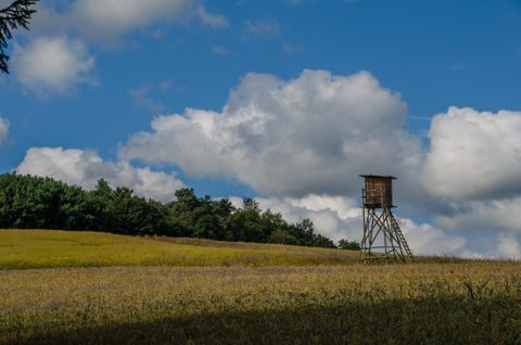
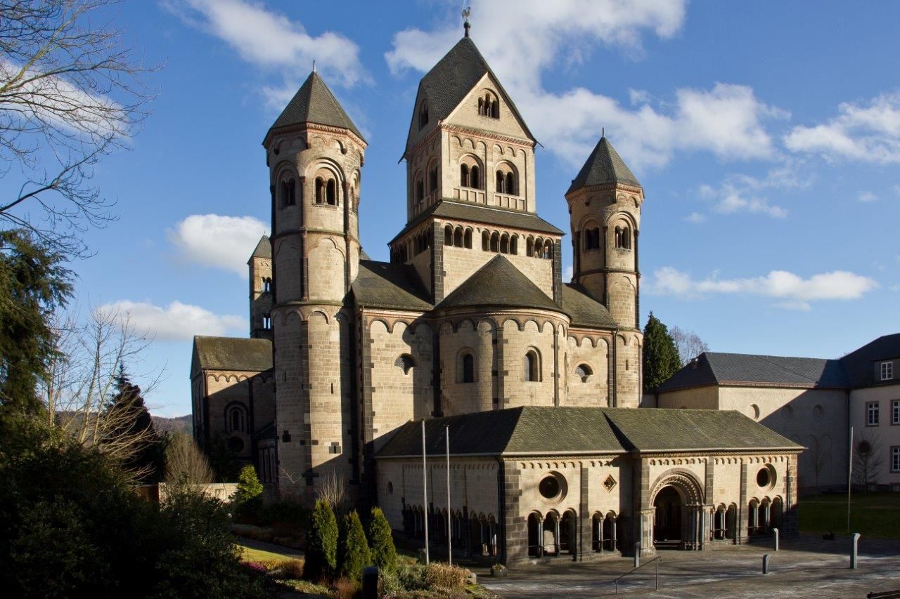
After a worthwhile visit to the Benedictine abbey on the western side of Maria-Laach Abbey, at St. John's Chapel, the >Osteifelweg< runs in a southerly direction along the monastery grounds. The >Osteifelweg< runs in a southerly direction along the monastery complex, in a slight right-hand bend through the forest and along the former natural history museum, under the A 61. First in a westerly direction, then in a left turn southwards, ascending to the K 56. Cross this and continue slightly uphill to Bell (2.9 km). Through the village, through fields and forest, now together with the Traumpfad >Vier-Berge Tour< past the Erlenhütte and the spring >Erlenborn<, cross the Kellbach, after approx. 300 m turn right and uphill into the saddle of the >Hochstein<, continue with a bend uphill to the >Genovevahöhle< (6.1 km) and viewpoint - the volcano trail (13) is followed for approx. 300 m - then downhill to the L82, where the Traumpfad turns right. Turn left on the L82, after the rest and parking lot turn right, in a south-westerly direction, soon right to the >Simmerhütte< with parking lot and rescue point, uphill to the Hochsimmer with fascinating distant and dream views and rest area (9.6 km), - observation tower, highest volcanic mountain in the East Eifel, crater wall with breakthrough to the south. - Now with hairpin bends downhill to the L83 into the Nettetal to the Hammesmühle (13.2 km) with P and beer garden and hist. Restaurant.
The Osteifelweg trail marker: three-colored "E" (blue, brown, green) on a white mirror; above it "EIFELVEREIN", below it on a green field "Osteifelweg".
Source: Eifelverein e.V.
Impressions

Further information
Please download the gpx track and the map of the trail in advance, as the signposting may be patchy in some areas.
Please stay on marked paths.
Especially in the fall, please be aware that leaves lying on the ground can hide bumps, roots, etc. on the trail.

Route tour
Multi-stage route
scenic
Refreshment stops
Cultural/historical
Geological highlights
Botanical highlights