
Vulkanweg 3. Etappe - Mayen nach Boos
Mayen
The third stage of the Volcano Trail begins in Mayen at Habsburgring (at the intersection of Brückentor and Bachstraße). From there, the trail heads into Bachstraße and winds through the idyllic Nettetal valley, passing parking lots along the way. At the bend in the road, keep going straight ahead, hike right along the riverbank, and pass under the Eifelquerbahn bridge. Shortly afterward, turn left over the Nette Bridge, pass the sports facilities, and follow the trail—which here still runs alongside the Osteifelweg—into the Eiterbach Valley to the Eiterbachweiherhütte (2.9 km).
At the climbing park, the two hiking trails split. The Vulkanweg now leads northwest uphill, past the “Am Leichenweg” shelter to Kürrenberg (5.8 km). After passing through the village heading west, continue climbing through the forest. You’ll pass a shelter (7.9 km) and reach the Fünfkantstein rest area (9.2 km).
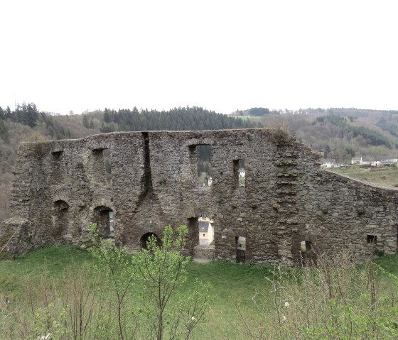
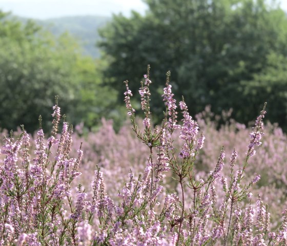
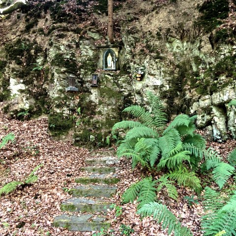
Now, following the “Virne-Burgweg” Dream Trail, you’ll walk along the protected juniper heath (Blumenrather Heide) to a shelter with a panoramic view (11.6 km). Winding your way down, you’ll pass the outskirts of Virneburg—an ideal spot for a quick detour to the castle—and head down into the Nitzbach Valley. Before reaching the stream, keep left, and after passing the ponds at the hairpin turn, turn right onto the local trail “Nachtsheimer Strühmannspettje.” Passing a grotto dedicated to the Virgin Mary, you’ll cross a small stream, keep sharply to the right at the steps, and pass another shelter. After a short stretch on the “Booser Doppelmaartour” scenic trail, leave it at the trail junction and finally reach today’s destination at St. Bartholomew’s Church in Boos (20.7 km).