
Eifel-Camino Etappe 3
Mayen
The third stage of the Eifel-Camino begins at the Catholic parish church of St. Clemens, with its striking, twisted tower. You walk along Marktstraße to Göbelstraße, turn right here toward the Stehbach stream, and continue south past the Mayen City Hall.
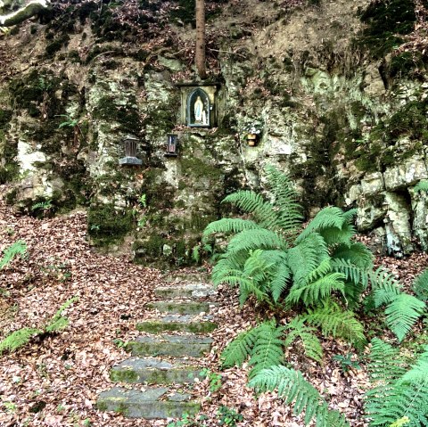
Passing through the Kuhtrift, you’ll come by the small Mayen Forest Chapel, which was built after World War II by the town’s residents as a token of gratitude. Shortly afterward, you’ll cross a bridge over Federal Highway B 258 and hike across the fields of the Conderhöhen down into the valley toward Monreal. You’ll pass the St. George Chapel at the cemetery, which dates back to the 13th century.
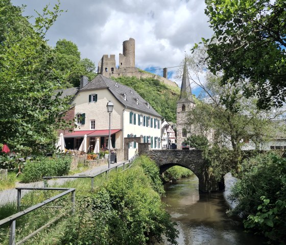
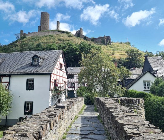
Above Monreal’s historic town center, characterized by half-timbered houses, stand two castle ruins. A detour from the Eifel-Camino up to the ruins is highly recommended. Löwenburg dates back to the 13th century. Its ruins, largely preserved, are well worth exploring. Far less remains of the smaller Philipsburg; only the northwest tower is still clearly visible here.
The Eifel-Camino leads directly to the Catholic Church of the Holy Trinity in the Elz Valley. The Church of the Holy Trinity in Monreal was built starting in 1460 in the Gothic style using rubble stone. On the northern choir wall, the 15th-century tabernacle—decorated with tracery arches adorned with pinnacles, canopies, and crab motifs—has been preserved. The sculptures of the twelve apostles come from the Apostles’ Altar, which was donated in 1482.
Walk through the center of Monreal to the country road, where you’ll reach the Thürelz stream at the old train station. Follow the stream upstream to Heunenhof, which was first mentioned in a document as early as 1331. Its name is derived from the Heunen, a mountain ridge on whose slope the village was built. The small village chapel, dating from 1495, houses a statue of St. James.
The Eifel-Camino continues to follow the Thürelz, first reaching Urmersbach and, shortly thereafter, Kaisersesch, the destination of this stage. The endpoint of this day’s hike is at the Catholic parish church of St. Pankratius, which was built between 1898 and 1900 in the Neo-Romanesque style. The side tower to the west is somewhat older and dates from the early 14th century. Its characteristic twist was preserved even during the comprehensive renovation in 2013–14.
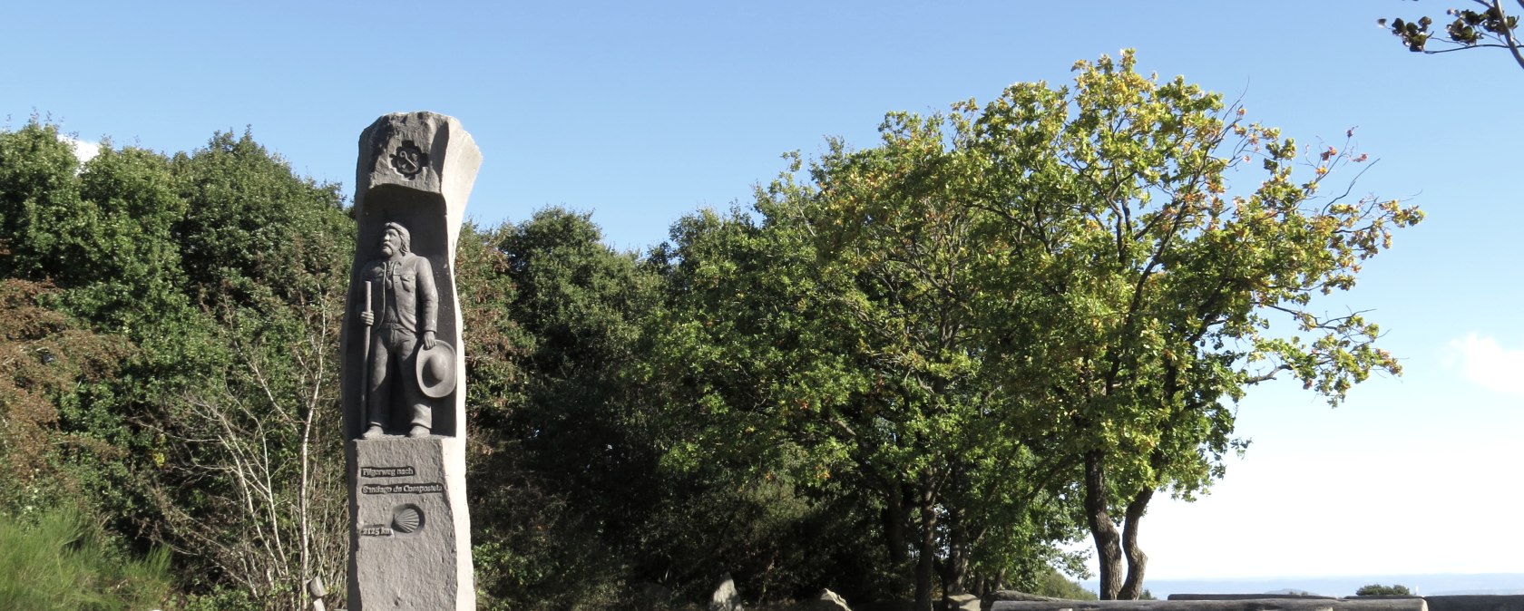
Marking of the tour: